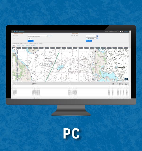
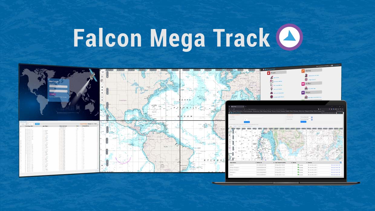
Falcon Mega Solutions provides Nautical Charts powered by OceanWise, giving you access to authoritative, globally consistent raster chart imagery for vessel tracking and maritime monitoring in Falcon Mega Track.
Our Nautical Charts service requires no installation or manual downloads. Charts are automatically updated within the Falcon Mega Track (FMT) platform, allowing you to focus on monitoring vessel movements with confidence
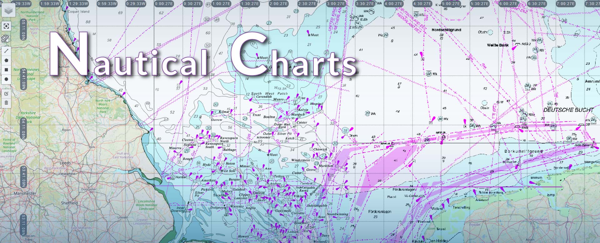
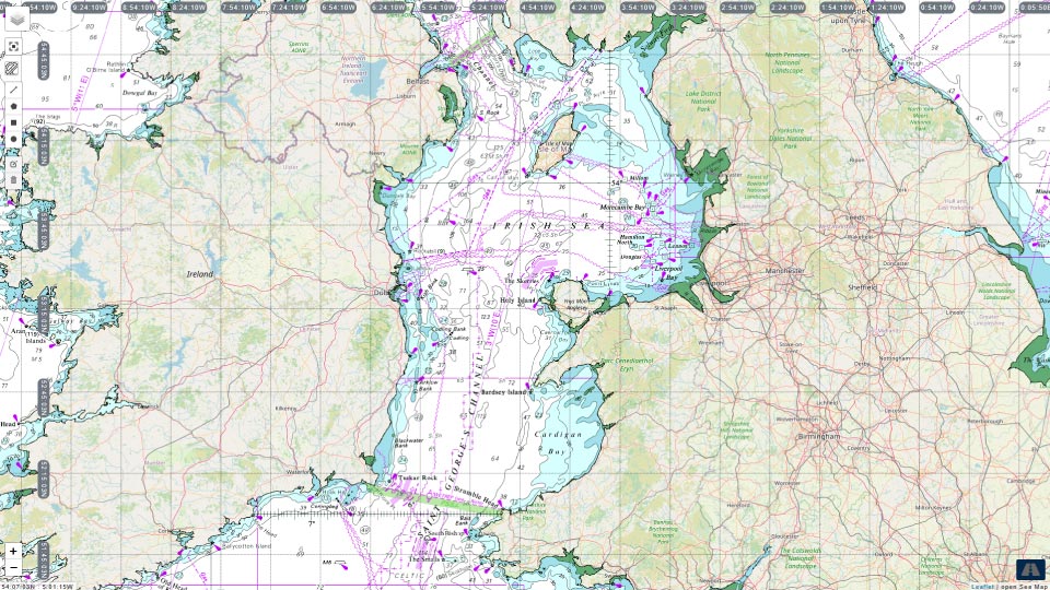
These Nautical Charts present essential navigational information, including: coastlines, depth soundings, navigational hazards, traffic separation schemes, bathymetry, buoys, lights, submarine cables, wind parks, etc. This information helps CSO managers and maritime operations teams track fleet movements and monitor routes with greater situational awareness..
Access anytime, anywhere
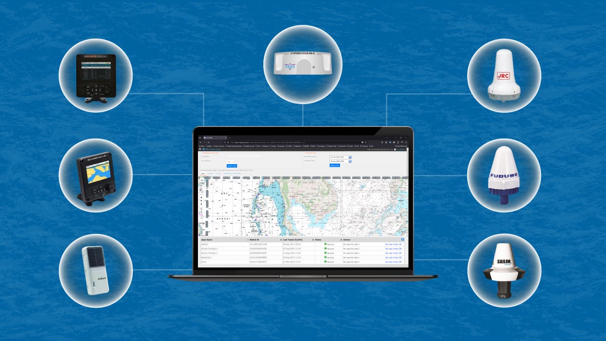
Access Nautical Charts through various devices, including Inmarsat-C, AIS, Iridium Edge Solar, and FMT Hardware.
• Furuno SSAS – Felcom 12, Felcom 15, Felcom 16, Felcom 18 and higher models;
• JRC SSAS – JUE-75C, JUE-85C; JUE-95C, JUE-95SA;
• Cobham – SAILOR TT 3000 Series, SAILOR 6000 Series mini-C SSAS;
• A100, A200 AIS Class A (em-trak)
• FA-170 AIS Class A (Furuno)
• JHS-183 AIS Class A (JRC)
• SAILOR 6280, 6281 Ship AIS Class-A (Cobham)
• Iridium Edge Solar
• FMT-MAT-V1, FMT-SSAS-V1 (Falcon Mega Solutions)
Key Features
- Web-based, no local installation of software required.
- Regularly updates and automatically utilizes all available version updates in the Falcon Mega Track (Vessel Tracking Platform).
- The product includes extensive coverage of Nautical Charts from national Hydrographic Offices, ensuring easy access to worldwide coverage of the most authoritative chart data available.
- These charts consist of all the relevant charted features which would be necessary for safe navigation, such as coastlines, depth soundings, navigational hazards, traffic separation schemes, bathymetry, buoys, lights, submarine cables, wind parks, etc.
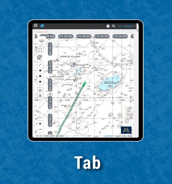
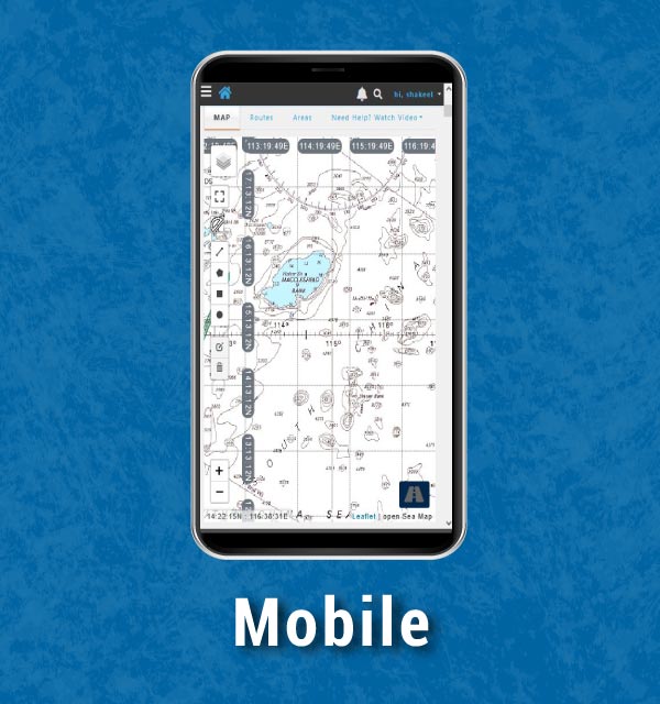
Nautical Charts on Every Device
