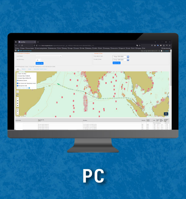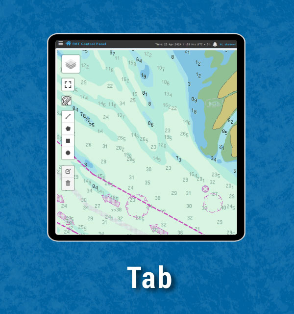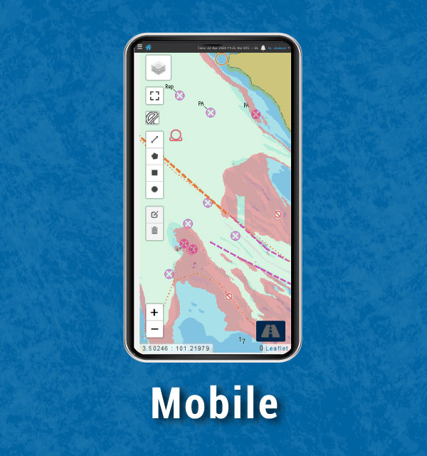
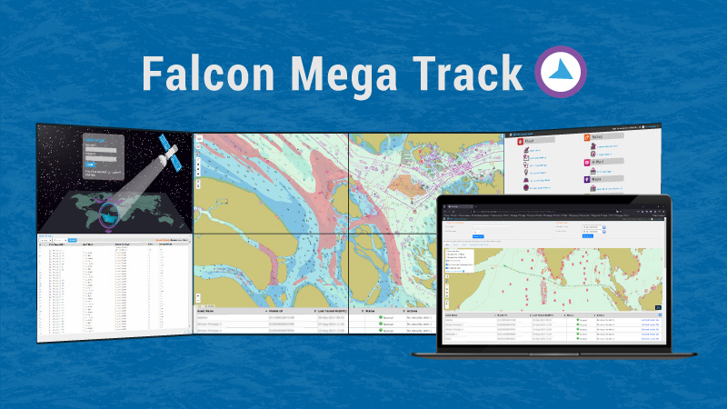
Achieve exceptional navigational benefits from a global vector coverage of Professional+ charts that includes all the relevant charted features essential for safe navigation in Falcon Mega Track (Vessel Tracking Platform)
Electronic Navigational Chart (ENC) requires no installation or download updates. Our service streamlines charts and automatically updates through web-based tracking platform, Falcon Mega Track (FMT), leaving you free to focus on navigation with peace of mind.
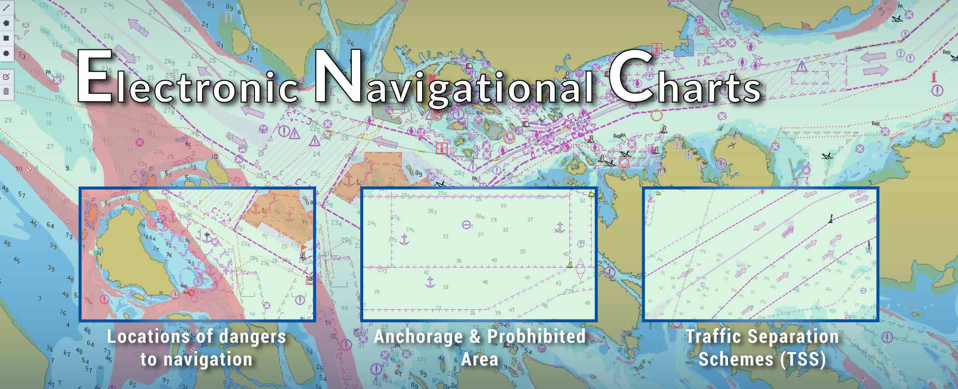
Electronic Navigational Chart (ENC) includes a variety of features and information, such as coastlines, depth soundings, navigational hazards, traffic separation schemes, bathymetry, buoys, lights, submarine cables, wind parks, etc. This information helps mariners navigate safely on the water.
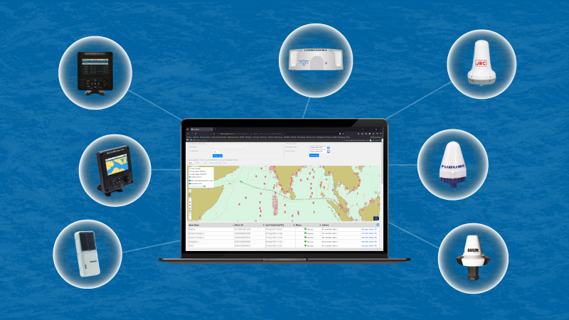
Access anytime, anywhere
Access Electronic Navigational Chart (ENC) through various devices, including Inmarsat-C, AIS, Iridium Edge Solar, and FMT Hardware.
• Furuno SSAS – Felcom 12, Felcom 15, Felcom 16, Felcom 18 and higher models;
• JRC SSAS – JUE-75C, JUE-85C; JUE-95C, JUE-95SA;
• Cobham – SAILOR TT 3000 Series, SAILOR 6000 Series mini-C SSAS;
• A100, A200 AIS Class A (em-trak)
• FA-170 AIS Class A (Furuno)
• JHS-183 AIS Class A (JRC)
• SAILOR 6280, 6281 Ship AIS Class-A (Cobham)
• Iridium Edge Solar
• FMT-MAT-V1, FMT-SSAS-V1 (Falcon Mega Solutions)
Key Features
- Web-based, no local installation of software required.
- Quarterly updates and automatic utilization of all available version updates in the Falcon Mega Track (Vessel Tracking Platform).
- Supplemented by high-quality vector charts produced by i4 Insight.
- The product includes extensive coverage of ENCs from national Hydrographic Offices, ensuring easy access to worldwide coverage of the most authoritative chart data available.
- These charts consist of all the relevant charted features which would be necessary for safe navigation, such as coastlines, depth soundings, navigational hazards, traffic separation schemes, bathymetry, buoys, lights, submarine cables, wind parks, etc.
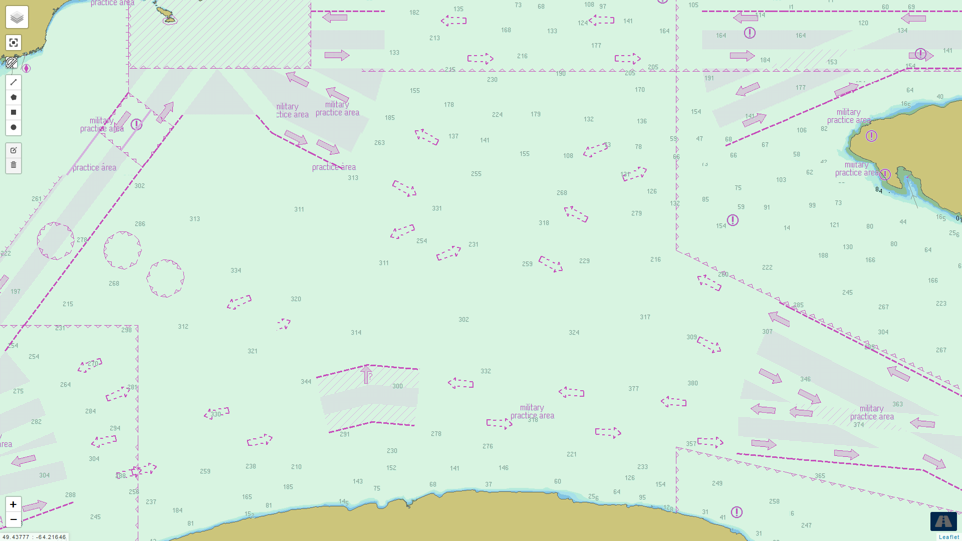
Study the Navigational Chart Map
Electronic Navigational Chart is the all essential cartographic reference for ship navigation worldwide. If you are looking for an accurate and thorough map of marine areas, coastlines, depth soundings, navigational hazards, traffic separation schemes, bathymetry, buoys, lights, submarine cables, wind parks, Electronic Navigational Chart is the resource you will want by your side.
Use the Navigational Charts Legend file to study the Electronic Navigational Chart Symbols (ENC Symbols) for port plans, safety depth contours, voyage plans, locate navigation aids, nearby marine services and more!
Electronic Navigational Charts on Every Device
